Railway Route Map Clear File Kansai Japanese Blue / Tokyo Cartographic
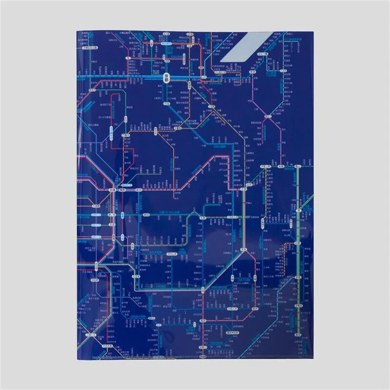
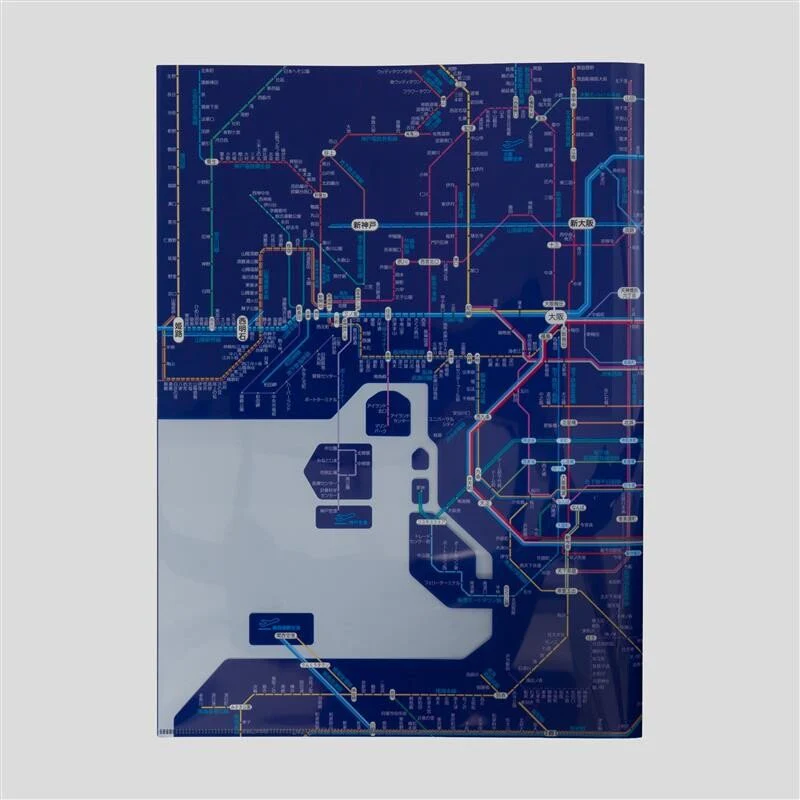
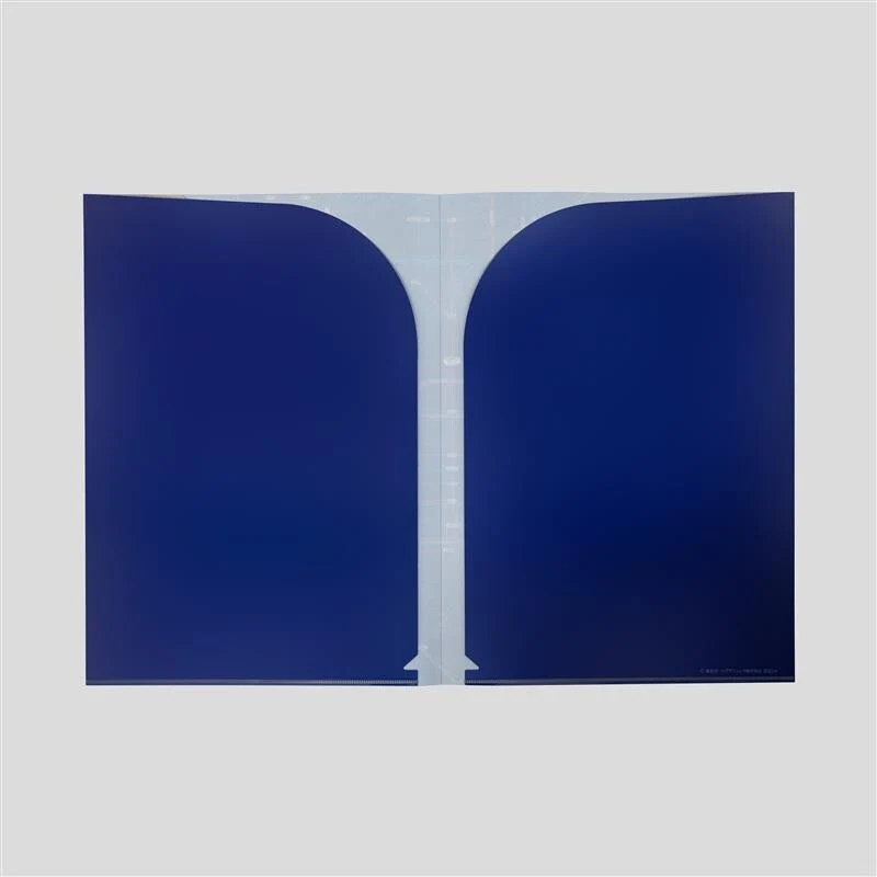
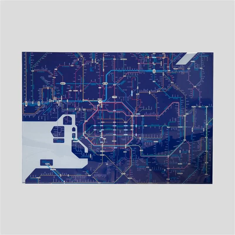
The Railway Route Map Clear File Kansai Japanese Blue by Tokyo Cartographic features a railway route map of the Osaka area covering JR lines, private railways, subways, and monorail systems. This double-pocket expandable clear file allows you to view the route map while organizing documents, making it useful for planning weekend trips, business travel, or as an Osaka souvenir.
The expandable design opens from 225mm to 450mm wide, displaying the full railway network map for the Kansai region.
The expandable design opens from 225mm to 450mm wide, displaying the full railway network map for the Kansai region.
Key Features
- Osaka area railway map: Includes JR, private railways, subways, and monorail lines.
- Double-pocket design: A3 format holds many documents.
- Expandable structure: Opens from 225mm to 450mm for viewing route map.
- Japanese language map: Route names and station labels in Japanese.
- Kansai region coverage: Focuses on Osaka metropolitan transportation network.
| Size (Closed) | W225 × H310 mm |
|---|---|
| Size (Open) | W450 × H310 mm |
| Format | A3 double-pocket expandable |
| Material | PP (Polypropylene) |
| Language | Japanese |
| Region | Kansai (Osaka area) |
| Made in | Japan |
$0.07
Original: $0.25
-72%Railway Route Map Clear File Kansai Japanese Blue / Tokyo Cartographic—
$0.25
$0.07Product Information
Product Information
Shipping & Returns
Shipping & Returns
Description
The Railway Route Map Clear File Kansai Japanese Blue by Tokyo Cartographic features a railway route map of the Osaka area covering JR lines, private railways, subways, and monorail systems. This double-pocket expandable clear file allows you to view the route map while organizing documents, making it useful for planning weekend trips, business travel, or as an Osaka souvenir.
The expandable design opens from 225mm to 450mm wide, displaying the full railway network map for the Kansai region.
The expandable design opens from 225mm to 450mm wide, displaying the full railway network map for the Kansai region.
Key Features
- Osaka area railway map: Includes JR, private railways, subways, and monorail lines.
- Double-pocket design: A3 format holds many documents.
- Expandable structure: Opens from 225mm to 450mm for viewing route map.
- Japanese language map: Route names and station labels in Japanese.
- Kansai region coverage: Focuses on Osaka metropolitan transportation network.
| Size (Closed) | W225 × H310 mm |
|---|---|
| Size (Open) | W450 × H310 mm |
| Format | A3 double-pocket expandable |
| Material | PP (Polypropylene) |
| Language | Japanese |
| Region | Kansai (Osaka area) |
| Made in | Japan |